The U.S. Environmental Protection Agency (EPA), working with states, Tribes, and territories, expanded the Disaster Debris Recovery Tool (DDRT), an interactive resource that maps recyclers and landfills managing disaster debris. The DDRT can be used by disaster response, recovery, and planning experts to advance the safe recovery, recycling, and disposal of disaster debris.
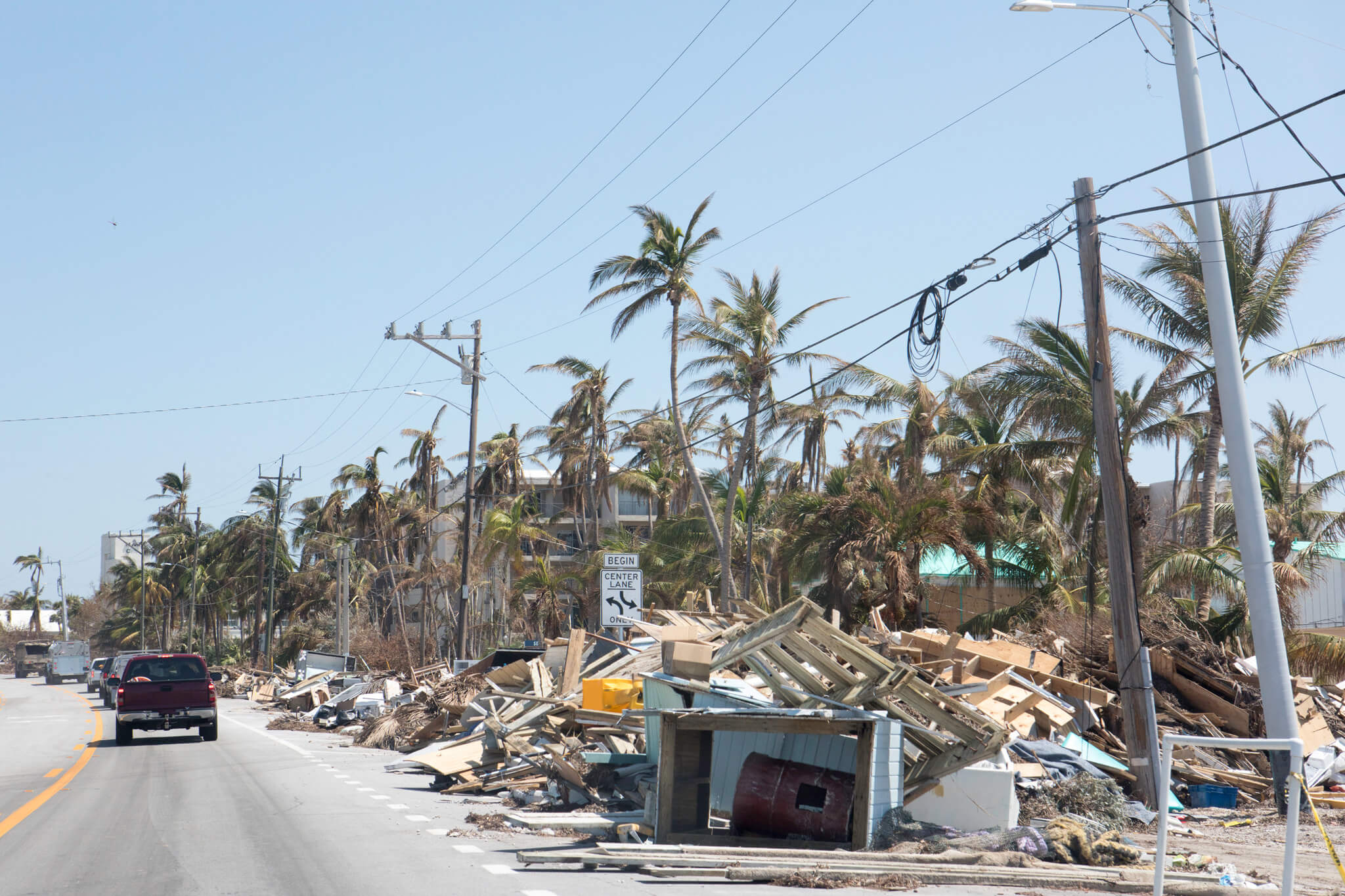
Agencies and communities need help locating safe and timely debris management options following disasters
In the wake of a disaster, both government agencies and the public face unique challenges that complicate even the simplest of tasks. Cleaning up and disposing of debris is one such undertaking: debris may accumulate quickly; road conditions and closures may impair transport; and recycling and trash infrastructure may be damaged or overwhelmed. Embracing the opportunity for a technological solution, the EPA and its state and Tribal partners created a unique mapping tool to help agencies at all levels of government manage these challenging situations.
The EPA, states, and Tribes collaborated on a nationwide expansion of the DDRT to all 50 States, Puerto Rico, and the U.S. Virgin Islands
E-Enterprise helped connect partners to support the expansion and rollout of the DDRT. The tool runs on a geographic information system platform and provides location and other information for 12 types of recycling facilities and landfills that handle disaster debris. DDRT data cover more than 20,000 facilities across 50 states, Puerto Rico, and the U.S. Virgin Islands. The tool also contains advanced features to help responders mark up the map with staging areas and other landmarks, track drive times and elevation profiles, and navigate the fastest routes around hazards.
The DDRT originally launched in 2008 in response to the large volume of material landfilled instead of recycled or recovered after Hurricane Katrina. The national expansion began in 2018 and included robust coordination with state and Tribal stakeholders at E-Enterprise meetings.
Illinois EPA has successfully used the DDRT for tornado response operations. Tribal agencies in Region 5 have used it to develop disaster debris plans and training programs, and EPA Regional offices have added the data to their own Emergency Response map viewers. DDRT was also used in San Francisco’s 2019 Fleet Week Emergency Response and Debris Management Exercise.
The national expansion of the DDRT officially launched in 2020, with downloadable data and new training videos posted online in 2021.
Visit the DDRT and associated resources using the links below:
DDRT data cover 20,000+ facilities to help the public and responders map faster and safer disaster cleanup efforts.
Government officials, disaster response planners, and members of the public can use this interactive mapping tool to make the process of disaster debris and recovery:
- Faster: Responders avoid wasted trips, traffic, and closures, while communities recover sooner.
- Safer: Responders and passersby sustain fewer injuries, and the risk of environmental impact is minimized.
- Smoother: Agencies preserve staff time and resources, and communities increase recycling levels, saving money and landfill capacity.
Key Contacts
Susan Vescovi
U.S. EPA Region 5
vescovi.susan@epa.gov
312-353-2748
Lucy Stanfield
U.S. EPA Region 5
stanfield.lucy@epa.gov
312-886-1121
Chad Fetrow
Florida Department of Environmental Protection
chad.fetrow@dep.state.fl.us
David Nicholas
U.S. EPA Office of Land and Emergency Management
nicholas.david@epa.gov
202-566-1927